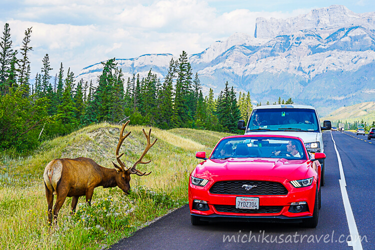
Highlights of Mount Edith Cavell
Mount Edith Cavell rises in Jasper National Park to an elevation of 3,300 m. Angel Glacier remains in the cirque on its north face, spreading out like wings, while the glacial lake Cavell Pond lies below. Moraines showing the glacier’s retreat and alpine-plant meadows extend across the surrounding area.
The mountain is named after Edith Cavell, a British nurse who helped Allied soldiers escape during the occupation of Brussels in the First World War and was executed.
Angel Glacier and Cavell Pond
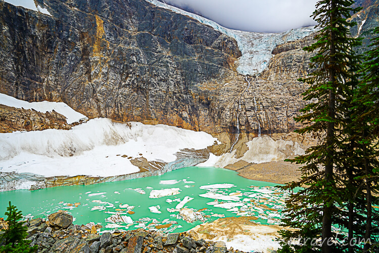
Angel Glacier, visible in the center of the sheer north face, was named for its shape, which resembles an angel with wings spread to either side. Ice calved from the glacier floats in Cavell Pond below, while the milky green water, rock walls, snow and ice create a single cirque landscape.
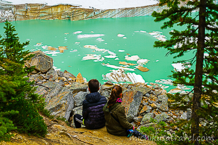
On the former Path of the Glacier Trail, visitors could walk from the parking lot to a viewpoint overlooking the glacial lake. Large chunks of ice may fall from the glacier, so it must be observed from designated viewpoints, without approaching the edge of the pond or the area directly beneath the glacier.
Glacial Retreat Land and Moraine
The rocky ground around the trail lies in an area once covered by glaciers. You can see at close range the moraines formed by debris carried by the ice, as well as the gradual return of vegetation after the glaciers retreated. In 2012, the collapse of Ghost Glacier caused a major debris flood, and the mountain environment continues to be shaped by rockfall and falling ice.
Mount Edith Cavell Meadows
Cabel Meadows Trail is the traditional route that climbs from subalpine forest through the treeline to alpine meadows. As you gain elevation, you see Angel Glacier from different angles, and alpine plants bloom in summer. Because vegetation recovers slowly in this environment, stay on the trail and avoid harming flowers or wildlife.
Basic Information about Mount Edith Cavell
The information below was checked against official sources on October 11, 2026. Please also check the latest information on the official website when planning your trip.
- 🔗 Official website
- Parks Canada publishes closure information and the previous trail guidance.
 Mount Edith Cavell areaLearn about the Mount Edith Cavell area, how to get there, hiking trails, and seasonal closures in the area.parks.canada.ca
- 📍 Location
- Jasper National Park, trailhead at the end of Cavell Road
- 🕒 Access status
- ⚠️ Cavell Road is closed during the 2026 season. All road traffic is prohibited, and the Path of the Glacier (Trail 41) and Cavell Meadows (Trail 42) are also closed.
- 💶 Fees
- Because of the closure, the day-use area and trails cannot be used, and tickets for this spot alone are not sold. A valid national park pass is required when stopping at or sightseeing elsewhere in Jasper National Park.
- ⏱ Time required
- The official estimate after reopening is 1.6 km round trip and about 1 hours for the Path of the Glacier, and 6 to 7 km round trip and about 3 to 5 hours for Cavell Meadows. ⚠️ It is currently unavailable. After the restoration work, reconfirm the distance, sightseeing area and time required on the official website.
Getting to Mount Edith Cavell
Access During the Closure
The traditional route runs south from Jasper along Highway 93 North for 7 km, then turns right onto 93 for 5.4 km before turning right again onto Cavell Road, which is 14 km long. During the closure in 2026, the trailhead cannot be reached by this route.
According to the restoration information for 2026 year, 7 month, the ground survey and removal of hazardous trees have been completed. Drainage and paving work is scheduled for summer 2026, while slope stabilization and the installation of retaining walls and other structures are planned from autumn 2026 to spring 2027. The opening date will be decided after the work is completed.
For attractions, transport and suggested itineraries, see “Canadian Rockies: A Guide to Attractions, Food, Transportation, and Suggested Itineraries”.