Highlights of Athabasca Falls
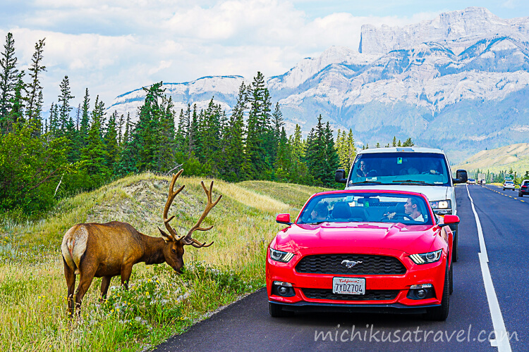
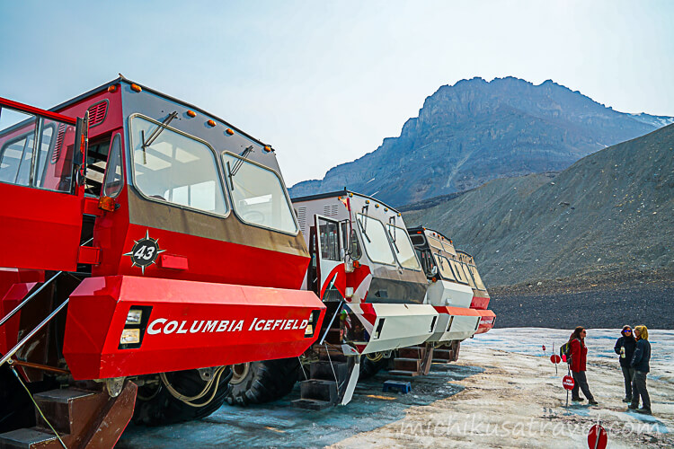
Athabasca Falls is a waterfall on the upper Athabasca River. The Athabasca River originates in the Columbia Icefield. Meltwater from Athabasca Glacier, which can be visited on a tour, also flows into the Athabasca River.
The glacier scenery and local experiences of the Columbia Icefield are introduced in the article below.
Walking Trail and Observation Deck
Athabasca Falls is impressive not only for its height, but also for the tremendous volume of water flowing into the narrow canyon. Several viewpoints along the trail offer different angles on the upstream flow, the brink of the falls, and the eroded rock walls.

A well-maintained trail winds through the valley.

You can view up close the flow plunging into the canyon and sending up spray. The rocks are wet and slippery, so view the falls from inside the railing and from the maintained path.

This warning sign bears the shocking title “Athabasca Falls Kills.” Under no circumstances should you leave the trail.

You can view the waterfall from various angles.

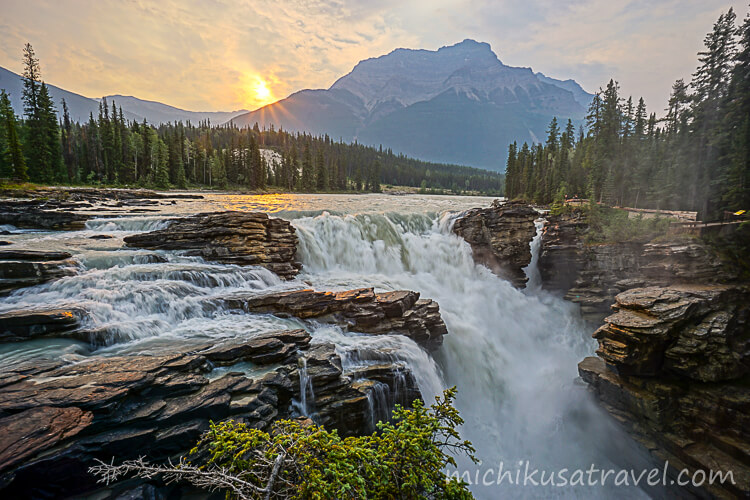
You can also admire the canyon and rock formations carved by the current over many years. Walking beyond the falls and taking in the scenery along the Athabasca River downstream gives you a better understanding of the area’s geology.
Icefields Parkway

The Icefields Parkway is a mountain road connecting Jasper with the Columbia Icefield area.
Athabasca Falls is a scenic attraction along this road. Improvements to the mountain road have made it easier to visit, and you can view up close the canyon carved into the bedrock by the glacier-fed Athabasca River.
The Icefields Parkway article introduces the sights along the route, road conditions, and driving times.
Basic Information about Athabasca Falls
The information below was checked against official sources on October 11, 2026. Please also check the latest information on the official website when planning your trip.
- 🔗 Official Website
- The Parks Canada official page provides information about the Athabasca Falls Day Use Area and precautions for visitors.
 Icefields ParkwayThe Official Jasper National Park Website. Information about the largest national park in the Canadian Rockiesparks.canada.ca
- 📍 Location
- At the junction of Highway 93 and Highway 93A in Jasper National Park, Alberta, Canada (31 km south of Jasper)
- 🕒 Visiting Hours
- Athabasca Falls is an outdoor day-use area. There are no fixed admission hours, but check the weather and the conditions of the roads and trails, and visit during daylight hours.
- 💶 Admission Fee
- The 1-day admission fee for an adult (ages 18–64) to Jasper National Park is CA$12.25. Regular admission fees will apply from 9 8, 2026.
- ⏱️ Suggested Visit Duration
- Allow around 30–45 minutes to visit the upper viewpoints and nearby trails. The paved path to the upper falls viewpoint is approximately 150 m long. ⚠️ Visiting only the viewpoints takes little time, but during busy periods, allow extra time to wait for parking.
Getting to Athabasca Falls
From Jasper, head south on Highway 93 (Icefields Parkway) to Athabasca Falls. The trailhead is 31 km south of Jasper, at the intersection of Route 93 and Route 93A. The drive from Jasper to the trailhead takes approximately 20 minutes.
By car
The parking lot at Athabasca Falls can fill up during peak hours. Parks Canada’s summer information identifies 10:00–19:00 as the busiest period and recommends JasperNow for checking parking availability. If the lot is full, plan to visit at a different time.

A detour at Athabasca Falls

It is an American red squirrel.
For attractions, transport and suggested itineraries, see “Canadian Rockies: A Guide to Attractions, Food, Transportation, and Suggested Itineraries”.